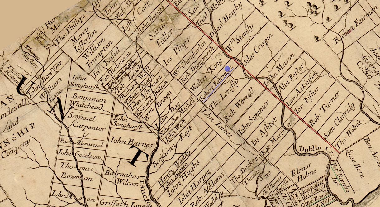
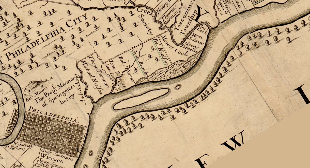
detail of the 1687 map of Pennsylvania
The Susquehanna Road, planned by William Penn's surveyors as a great highway between the Susquehanna and Delaware Rivers, was to have passed through the [Ury House] estate.
Evening Public Ledger (1926.10.22).
Dublin Creek, which meanders along the line of the planned Susquehanna Road, is today known as Pennypack Creek.
The planned Susquehanna Road is indicated in red.
The northern boundary line of Ury Farm was indeed Susquehanna Road which still exists today. The stretch of Susquehanna Road that bordered Ury Farm is the only portion of the planned Susquehanna Road to have been executed within the borders of Philadelphia. A greater portion of the planned Susquehanna Road runs as a straight line through eastern Montgomery County.
The approximate position of Ury House, indicated with the blue dot, is ascertained by the junction of Susquehanna Road and the land tract of William Stanley, which is today Fox Chase Farm. Ury House stood across Susquehanna Road from Fox Chase Farm. It appears then that Ury House was once on the land of R. Fairman.
Robert Fairman, a Quaker from Hertfordshire, bought land in Philadelphia County, but apparently did not emigrate.
Papers of William Penn
The upper boundary lines of the Robert Fairman and Silas Crispin properties ulitmately became part of northeast Philadelpia's western boundary line with Montgomery County. Most of William Stanley property/Fox Chase Farm is today within Abington Township. Montgomery County.
| |

|

