philadelphia |
2018 |
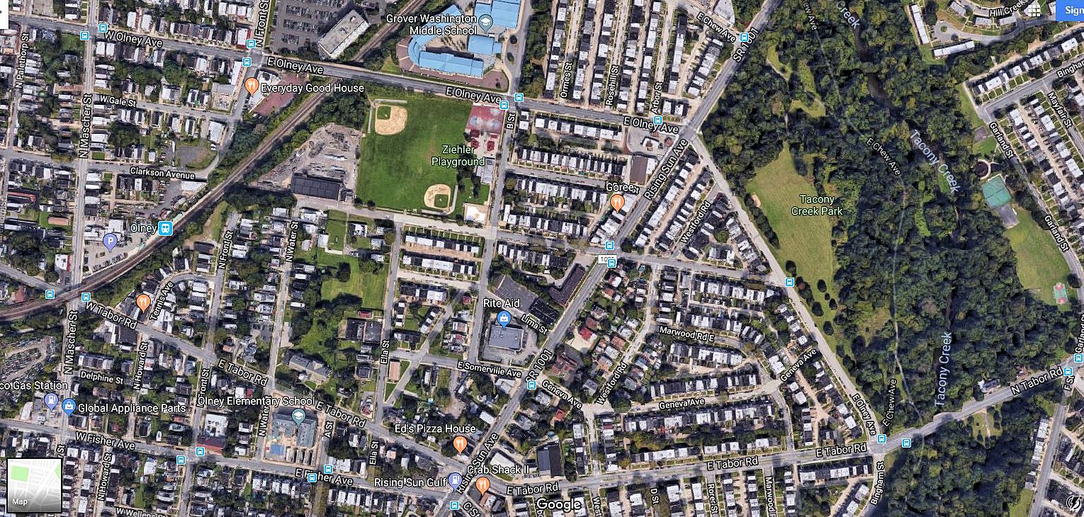
From four typewritten pages found at the librarian's desk at the Greater Olney branch of the Free Library of Philadelphia, 2002.02.19. | The Olney community which is served by the Greater Olney Branch of the Free Library derives its name from the home of Alexander Wilson which stood from 1840 to 1924 east of Rising Sun Avenue overlooking Tacony Creek. Wilson chose the name because he was an admirer of the poet Cowper of Olney, England, composer of the famous Olney Hymns of the Methodist Church. The village that grew in The Hollows along Tacony Creek perpetuated the name of Olney. City maps of 1847 show the town of Olney consisting of three main roads and a community of farms. The main highways were the Kensington-Oxford Turnpike (now called Rising Sun Avenue), Olney Road (now called Tabor Road), and Clinton Street (now called Mascher Street). The first local street to appear on a city map was Green Lane (located just south of Cardinal Dougherty High School) and is found on a map of 1799. |
|
|
www.quondam.com/39/3918r.htm | Quondam © 2020.09.22 |
